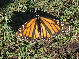
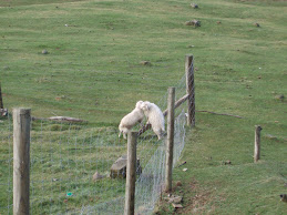
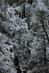
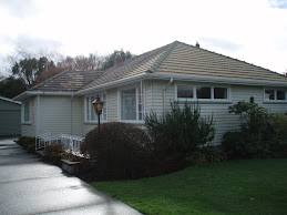
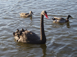
Saturday dawns partly cloudy so we head south to explore the Banks Peninsula. The weather trade off is that it is a bit colder but the sun is nice to see. We see the results of the torrential rains with flooded paddocks and sorry looking livestock. Flocks of black swans are swimming across flooded fields. We see several places where the hillsides have slipped down onto the road. A slight detour around one road crew clearing the road is not too bad as there is not too much traffic.
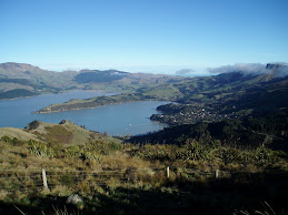
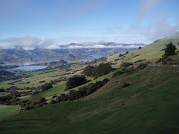
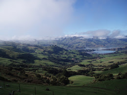
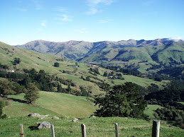
Banks Peninsula just south of ChCh was formed by two adjacent volcanoes. They both blew out to the side like Mt St Helens but then filled with water. The south one blew south forming Akaroa Harbour and the north one blew east forming Lyttleton Harbour.
We stop at Birdlings Flat just before heading out onto the peninsula. The Flat is a pebble and stone beach about 20 k long on a spit separating Lake Elsmere from the ocean. The pebbles were washed down from the Alps to the west and swept north along the coast by the strong ocean current. We have yet to explore any of the numerous braided rivers that carry snowmelt/glacial runoff from the Alps across the Canterbury Plain.
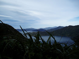
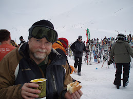
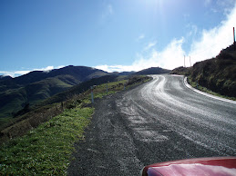
National highways here are two lane with little to no shoulder and periodic passing lanes. The road winds and climbs through the green hills to the crest and Akaroa Harbour spreads before us. We want to walk out on peninsula in the harbour to visit the remains of a Maori Pa (fortified settlement) but the tide is getting too high and the peninsula turns into an island. We settle for a lunch of Shepard’s Pie and Lamb and Kumara (sweet potato) pie at a café on the waterfront. We check out the Nature and Dolphin Cruises in the harbour. Maybe next time we will swim with the endangered Hectors/New Zealand dolphins.
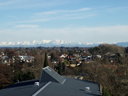
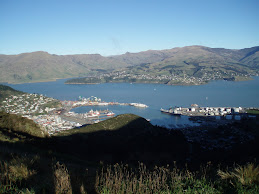
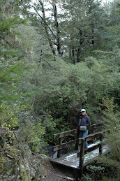
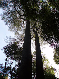
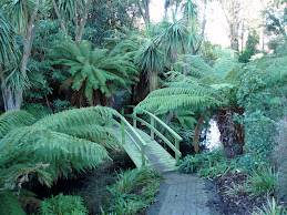
We drive back out of the harbour to the summit the way we came in (all the other roads are 4WD only) hoping to find another walk in the Bush. The summit road is closed – probably too many slips. We head all the way back down and get back up to the summit over Gebbies Pass where Doug can check out the WindFlow Technology windmill in the pass. We drop down into Lyttleton Harbour and drive along the south shore as far as possible then back around the north shore. The road clings to the hillsides and winds through several small communities. There are several passes and a tunnel connecting ChCh and Lyttleton. We drive up Dyers Pass to Summit Road. This area is open! There are a lot of walking/biking tracks all through the Port Hills. Since it is a nice day walkers, joggers, bikes, and cars share almost two lanes of two way traffic. I am glad Doug is driving. The views of ChCh and Lyttleton Harbour from the summit road are gorgeous. The sun is getting low over ChCh so no good pictures this time. Definitely an area we will need to get back to. We continue along Summit Road and come down Evans Pass into ChCh. I try to navigate us just south of downtown to get home but a lot of roads are closed due to a big rugby game just letting out. I am glad my map reading skills are pretty good. Since we had missed out on earlier opportunities for a walk we stopped at Riccarton Bush pretty close to home and strolled through the forest.
Pancake Rocks

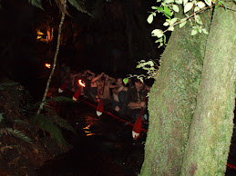
Punakaiki
Subscribe to:
Post Comments (Atom)


No comments:
Post a Comment